NB Day 7 _ Oops! this post is out of order! 😕
 |
| Bunda Cliffs |
 |
| Storm on its way! |
We had another storm overnight with lots of lightning flashes which woke me up but it was interesting and although at first I was feeling a bit uneasy I finally enjoyed it in a strange way. We woke up and had our showers and Ron made breakfast of eggs and tomatoes. It was a great way to start the day and we also needed to use up some of our fresh food as we would be crossing the border where there is a check of what can go across into WA and large fines for anything on the banned list. We arrived at Border Village around 11 am and through the Quarantine Check without any problems.
 |
| Very windy at Bunda Cliffs |
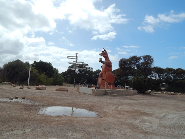 |
| Rooey the Kangaroo at Border Village |
.JPG) |
| At the border |
The rain stopped but we have had a head wind so we kept going without stopping at Eucla but plan to stop on our return trip.
The distance from Eucla to Mundrabilla approx. 90 km
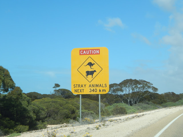
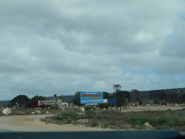
We stopped at Mundrabilla for fuel and continued on. There were lots of kangaroos and emus and even more roadkill with crows having a feast. A Police car and Ambulance passed us and we heard on the CB that there was a bad accident ahead which makes you realise that the roads out here can be very dangerous too even though there is not a lot of traffic.
 |
| These strips on the road are for emergency aircraft landings |
 |
| Many kangaroos on road |
 |
| Madura Pass |
.JPG) |
| Road to Mundrabilla |
We continued on to Madura where we again got fuel. We get fuel at every opportunity we can as occasionally there is no fuel available due to fuel tankers not arriving when expected. Distance from Mundrabilla to Madura approx. 90 km
We arrived at Cocklebiddy about 90 km and fuelled up again.
.JPG) |
| Mundrabilla |
 |
| A rusty Rugby 1923 at Mundrabilla |
 |
| An FC Holden roadside wreck |
We continued on as we had gained 3/4 hr when crossing the border and stopped at Caiguna for a coffee and headed off again. This is the start of the 160 km straight road and although the previous road was relatively straight this section has absolutely no bends or curves at all.We were now looking for somewhere to stop for the night, and about 4pm we found the Baxter Rest Area which is a huge area and there were already quite a few campers stopped so I felt comfortable stopping there. Today we travelled 512 km which is quite a long way for us in a day so we are ready to stop and settle in for the night here.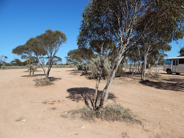 |
| Baxter roadside stop |
 |
| Another camper at Baxter |
 |
| Our Baxter stopover |
 |
| More rust at Baxter |
.JPG) |
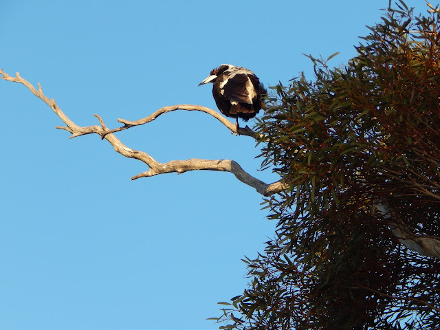
| A friendly Magpie at Baxter |
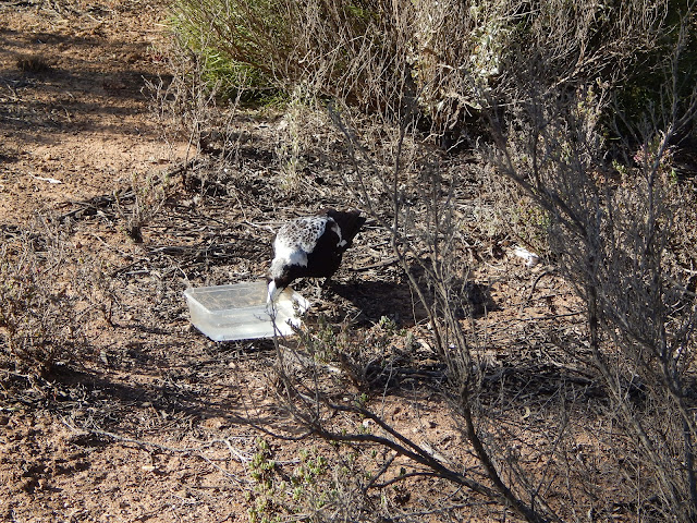 |
| I gave our friendly magpie a drink |
.JPG) |
A beautiful sunset to end a great day of travelling
|


.JPG)

.JPG)

.JPG)


.JPG)
.JPG)


.JPG)

.JPG)
What a big beautiful open sky! It must be so awesome to experience it first-hand.
ReplyDeleteI live in New York State, and our thruway system is designed to be straight for a mile, every ten miles. This is so planes can land in an emergency. This was planned on account of World War II. The road system was built after that but with war time in mind. There was thoughts of using it when planes were being grounded on 9/11, but that never happened. But the idea makes sense!
Mrs Murphy - thanks for your comments. I don't think there are many places in Australia that have these Emergency landing strips. We have seen them in Northern Territory on the Stuart Highway and a couple of other remote places. Towns here in the Outback are so few and far between that this is a great way to get emergency services to people in remote areas.
ReplyDeleteSo nice to see pictures of you both! :)
ReplyDeleteI would imagine you have kangaroos hopping into the roads there like we have deer running across roads in northern central US. Cattle (and Buffalo) here are usually fenced in.
Love your magpie visitor! :)